December 27, 2020 - Flying Delaware and Maryland Ocean Coast
|
|
I updated my pilots log book the other night. When I added it up for 2020, I found I had flown 98 hours this year. Well, of course, I can't be two hours short of one hundred hours. So when I got a decent weather day I went flying to get the final two hours.
The weather was actually very good on this Sunday -- clear skies, good visability, light winds -- but it was a little cool. In the 40s. Just over the threshold of being too cold to enjoy the flight.
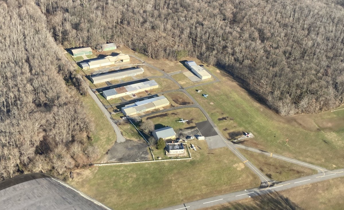
Here, I'm over Essex Skypark. Some pilots are building a new three-hangar complex on the right end of the top row. For years, only steel beams stuck out of the ground there. Everyone called it Stonehenge or Hangarhenge or something like that. One of the planes going into this hangar is an RV-4. We will soon have six RVs at the Skypark, plus an RV-10 under construction.
|
| |
 |
|
|
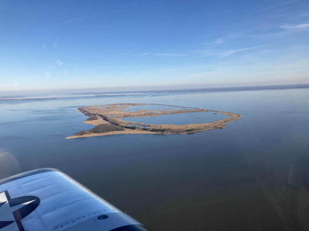
Passing by Hart-Miller Island, lit up in the late-afternoon sun.
Once again I forgot my good Digital Rebel camera so I had to use the iPhone to take pictures for this flight.
|
| |
 |
|
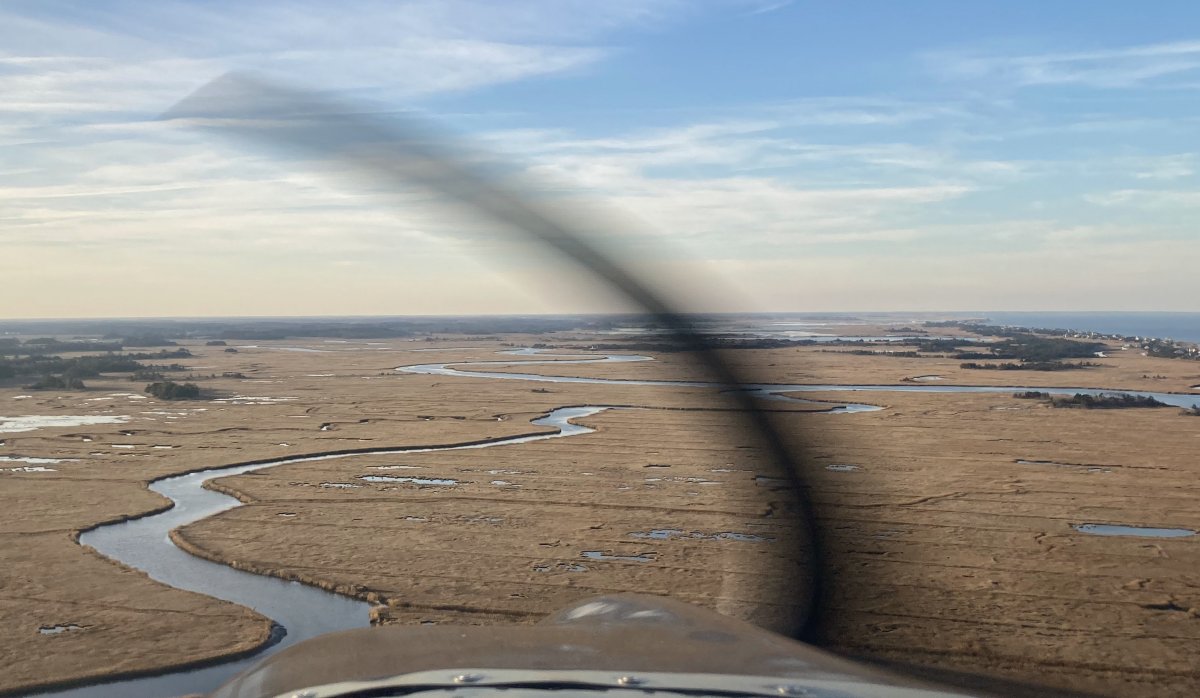
| I flew some rivers and creeks on the way to Ocean City, then flew south down the coast. |
| |
 |
|
|
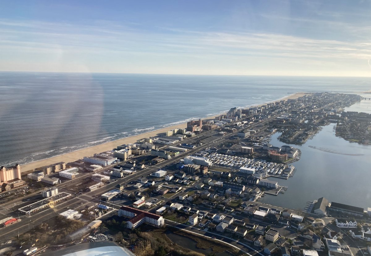
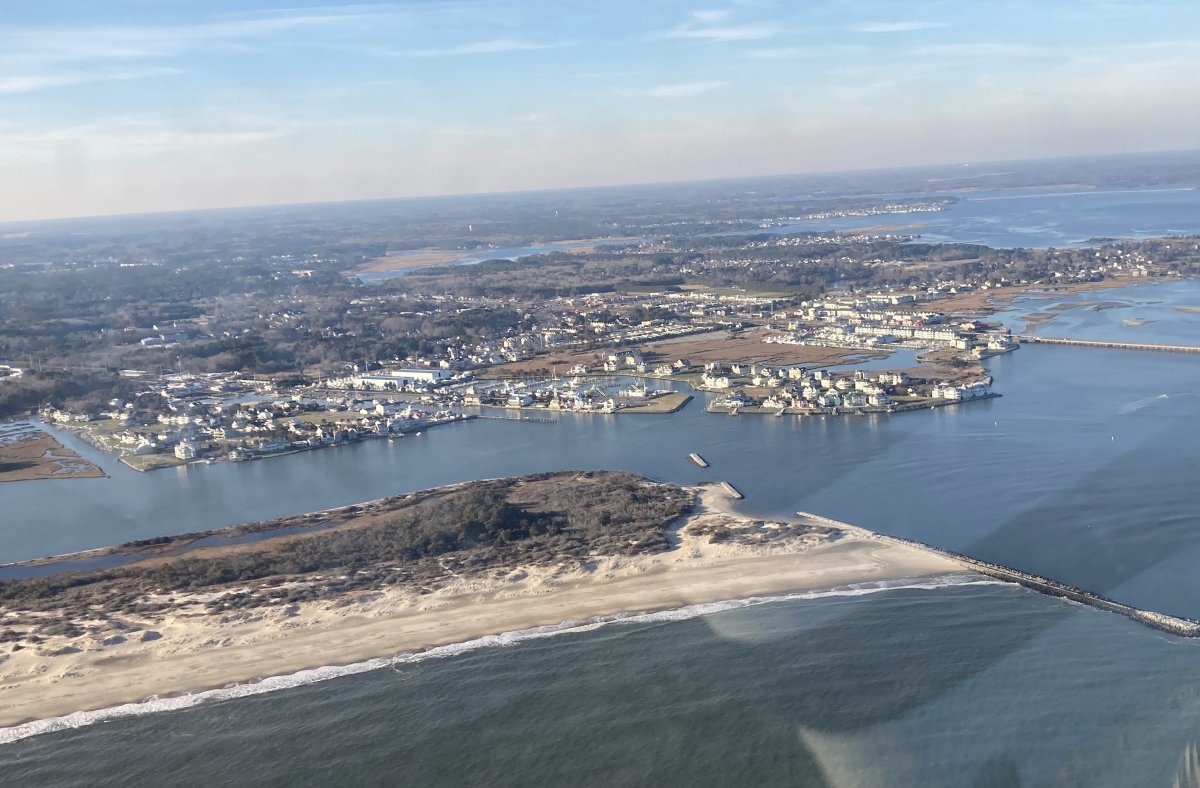
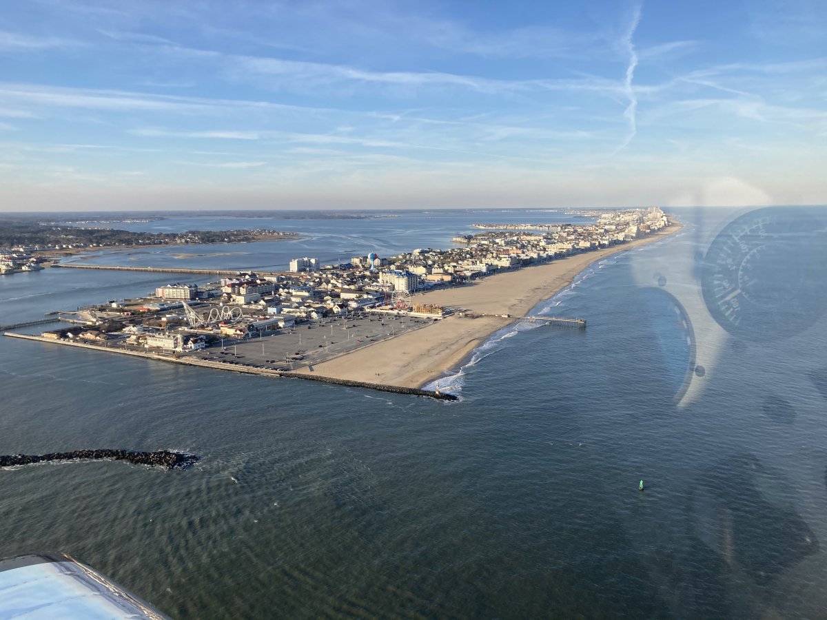
Looking north at Ocean City. I could see a few people walking on the beach.
|
| |
 |
|
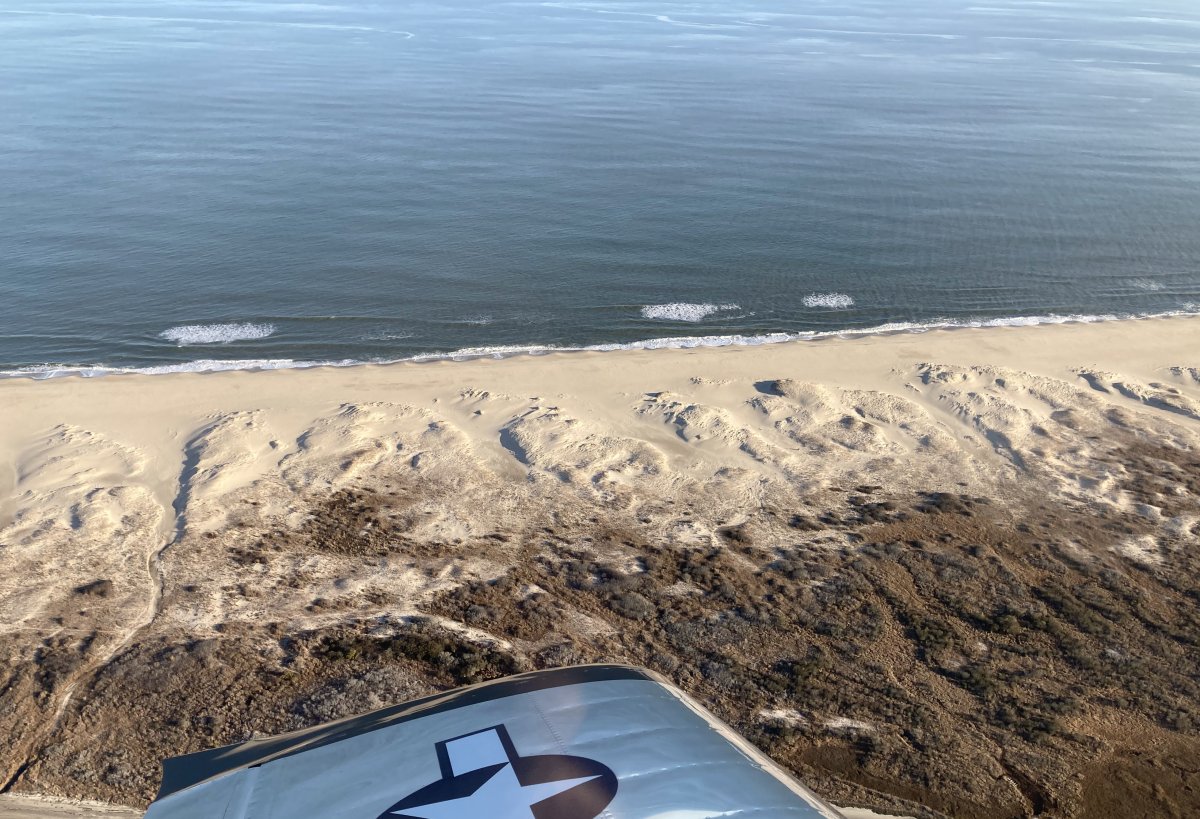
| Looking at the north end of Assateague Island. |
| |
 |
|
| The beach was pretty in the late afternoon sun. |
| |
 |
|
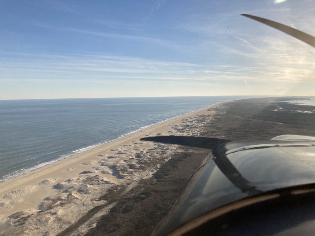
| Heading south. |
| |
 |
|
|
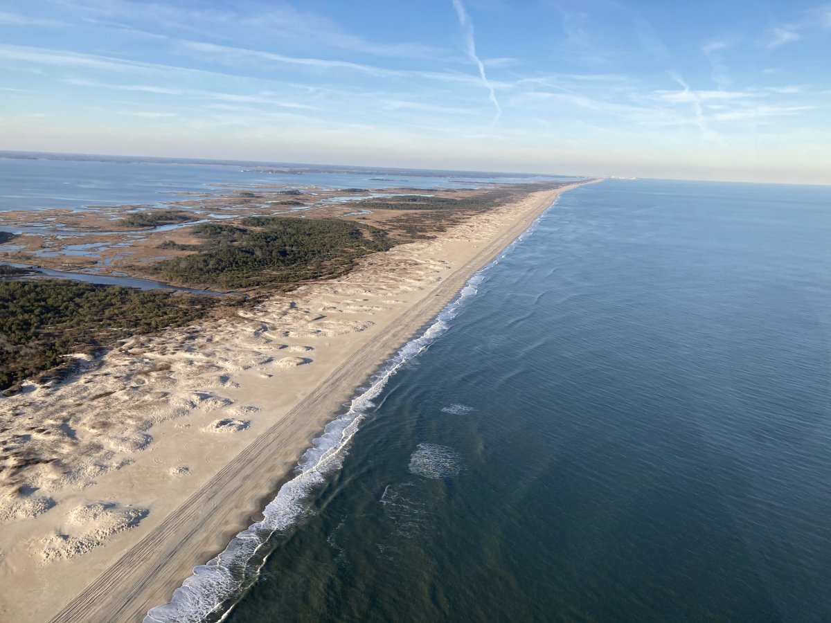
I came to the northern edge of Wallops Island restricted airspace and made a U-turn. Now I'm heading north.
|
| |
 |
|
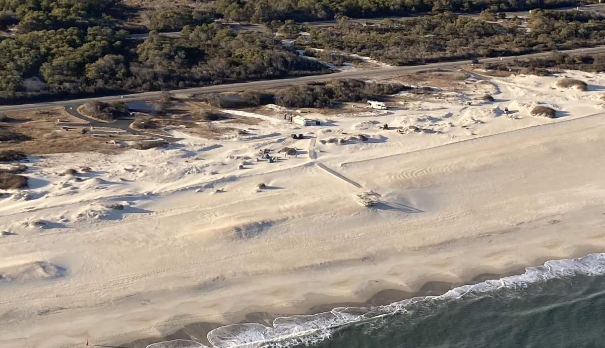
| Look closely and you can see tents. People are actually camping on the beach! It must get pretty cold at night, that's all I can say. |
| |
 |
|
|
ZZZ
|
| |
 |
|
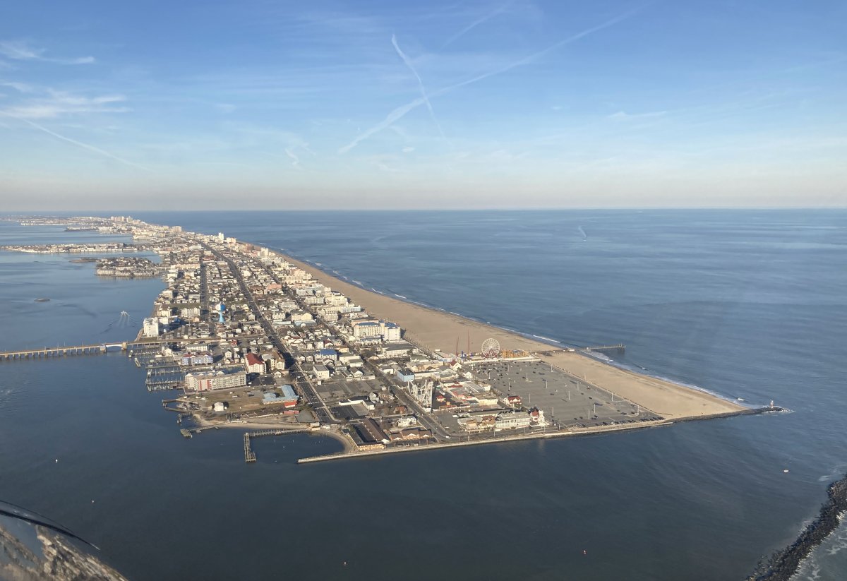
| Another look at Ocean City. |
| |
 |
|
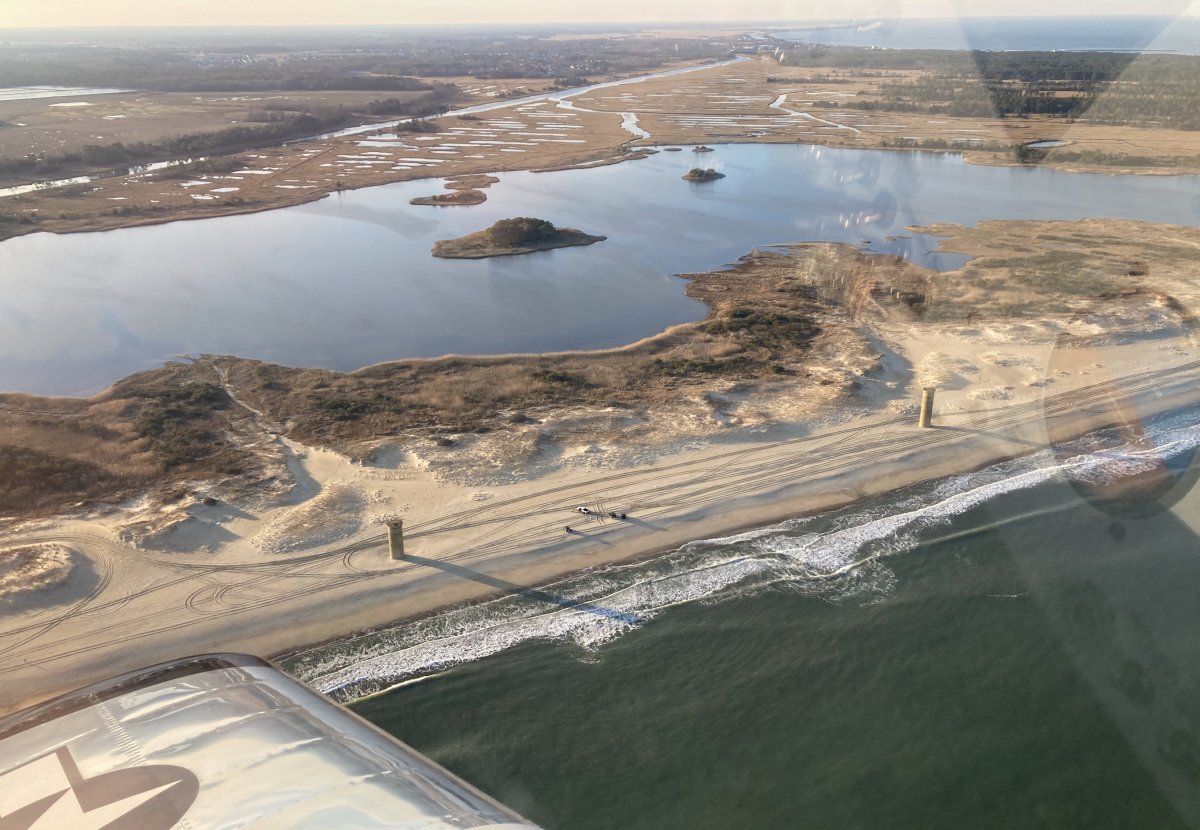
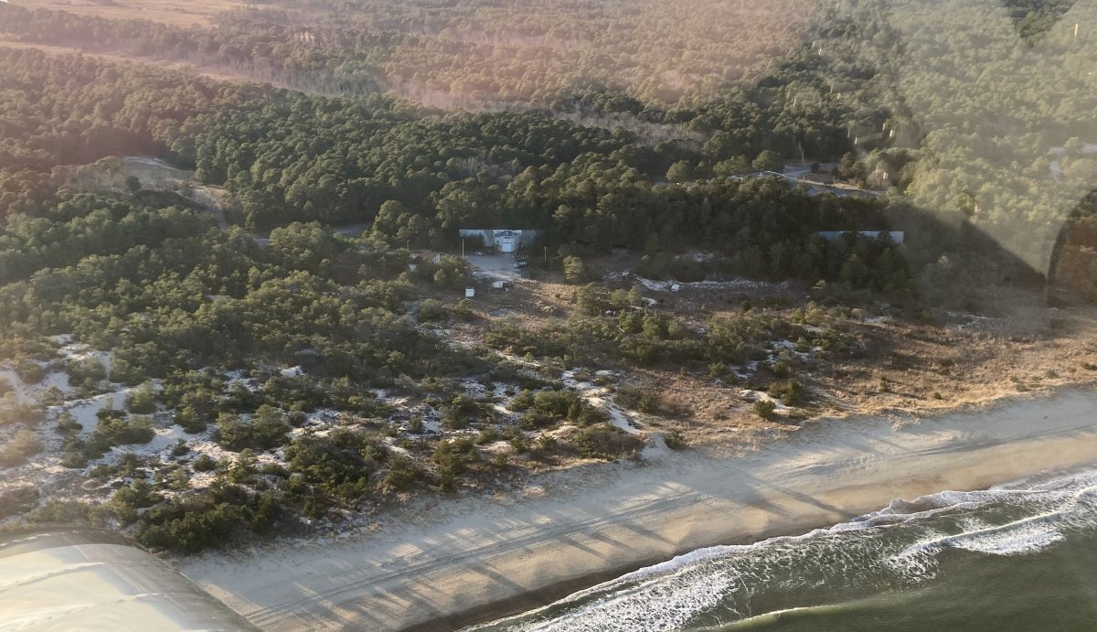
| Now I'm up by Cape Henlopen. Down below are two World War II-era watchtowers. |
| |
 |
|
|
Further up Cape Henlopen. Fort Miles was built here during World War II to defend Delaware Bay and the Delaware River and to protect domestic shipping from enemy fire between Cape May and Cape Henlopen, particularly from the German surface fleet. The fort also operated a controlled underwater minefield to prevent ships entering the Delaware River estuary.
|
| |
 |
|
|
|
| |
 |
|
|
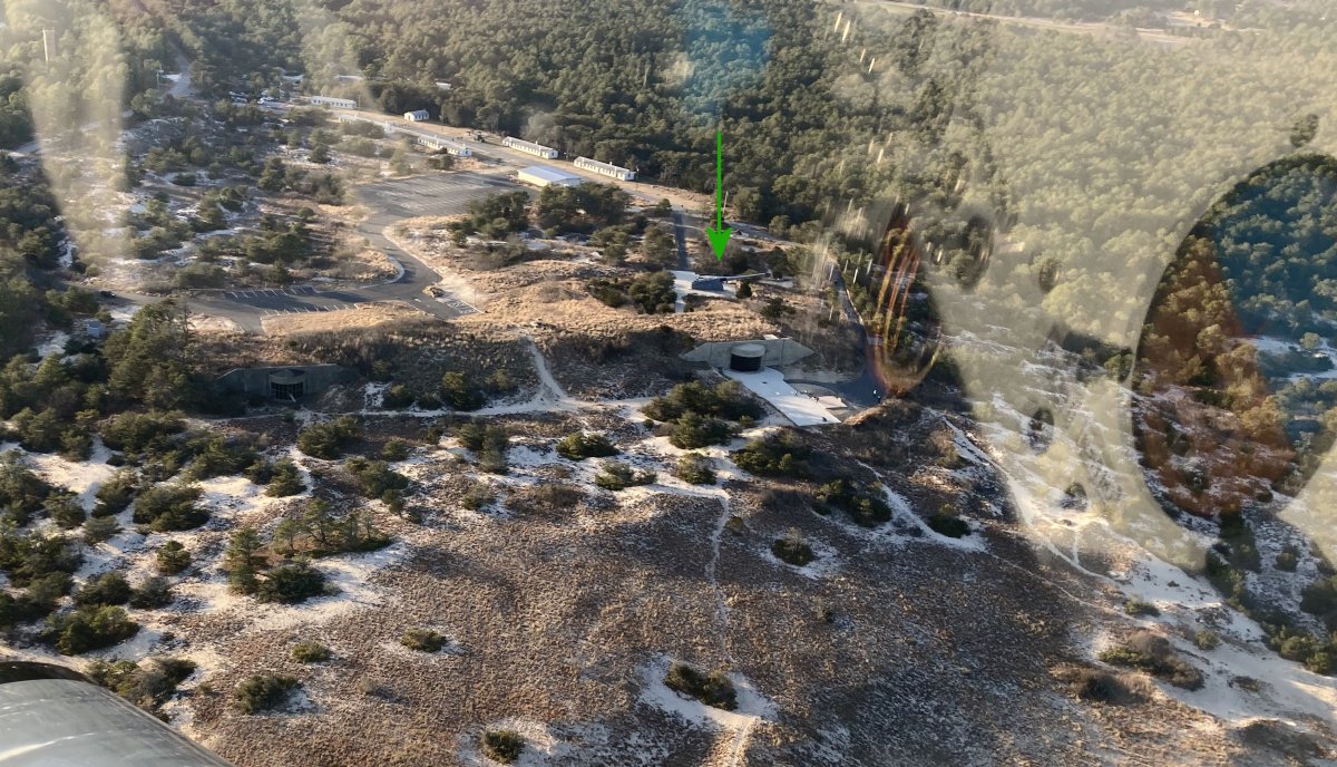
A good look at some of the Fort Miles buildings.
I have flown over this area many times but never really looked at it closely. I knew that there were 16-inch guns here during the war. But I was surpised to see a large gun from the air (marked by green arrow). I bet that is a 16-inch gun.
|
| |
 |
|
|
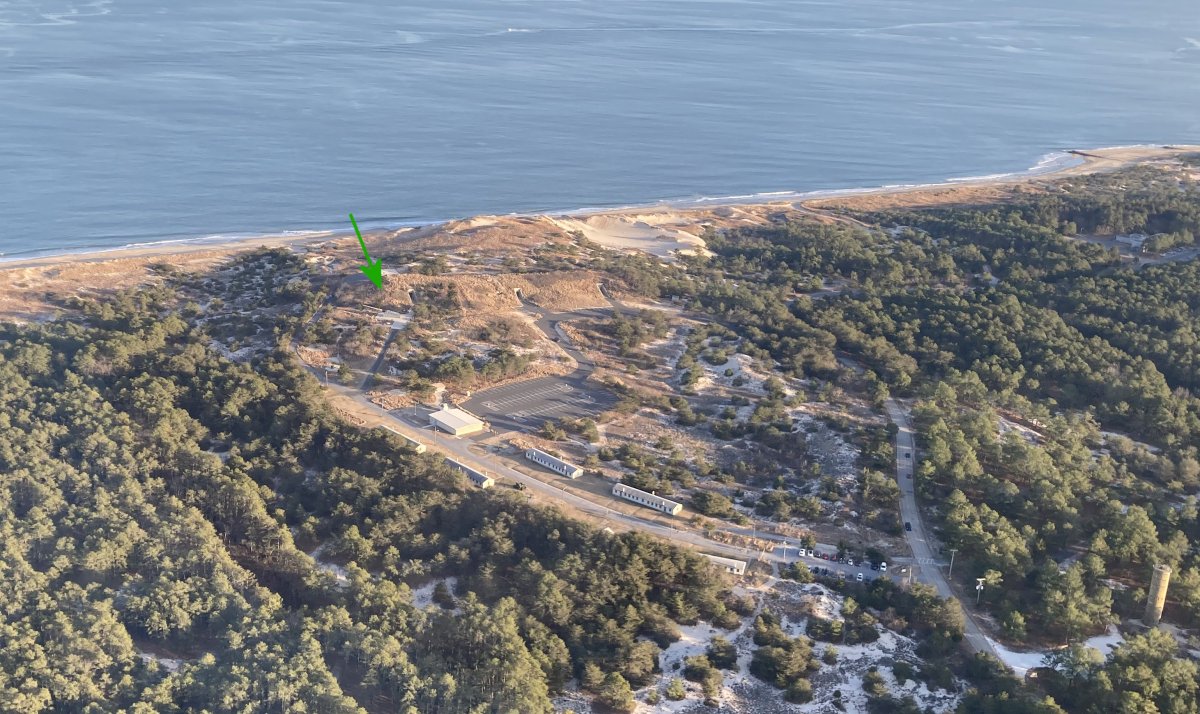
Another look. I'll definately have to check Fort Miles out from the ground some day.
|
| |
 |
|
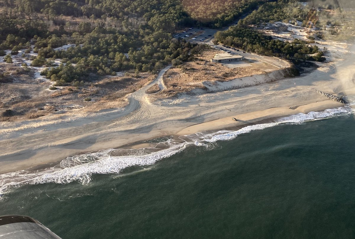
| The observation tower at lower left, Tower 7, is open to the public and you can climb up the stairs to the top. |
| |
 |
|
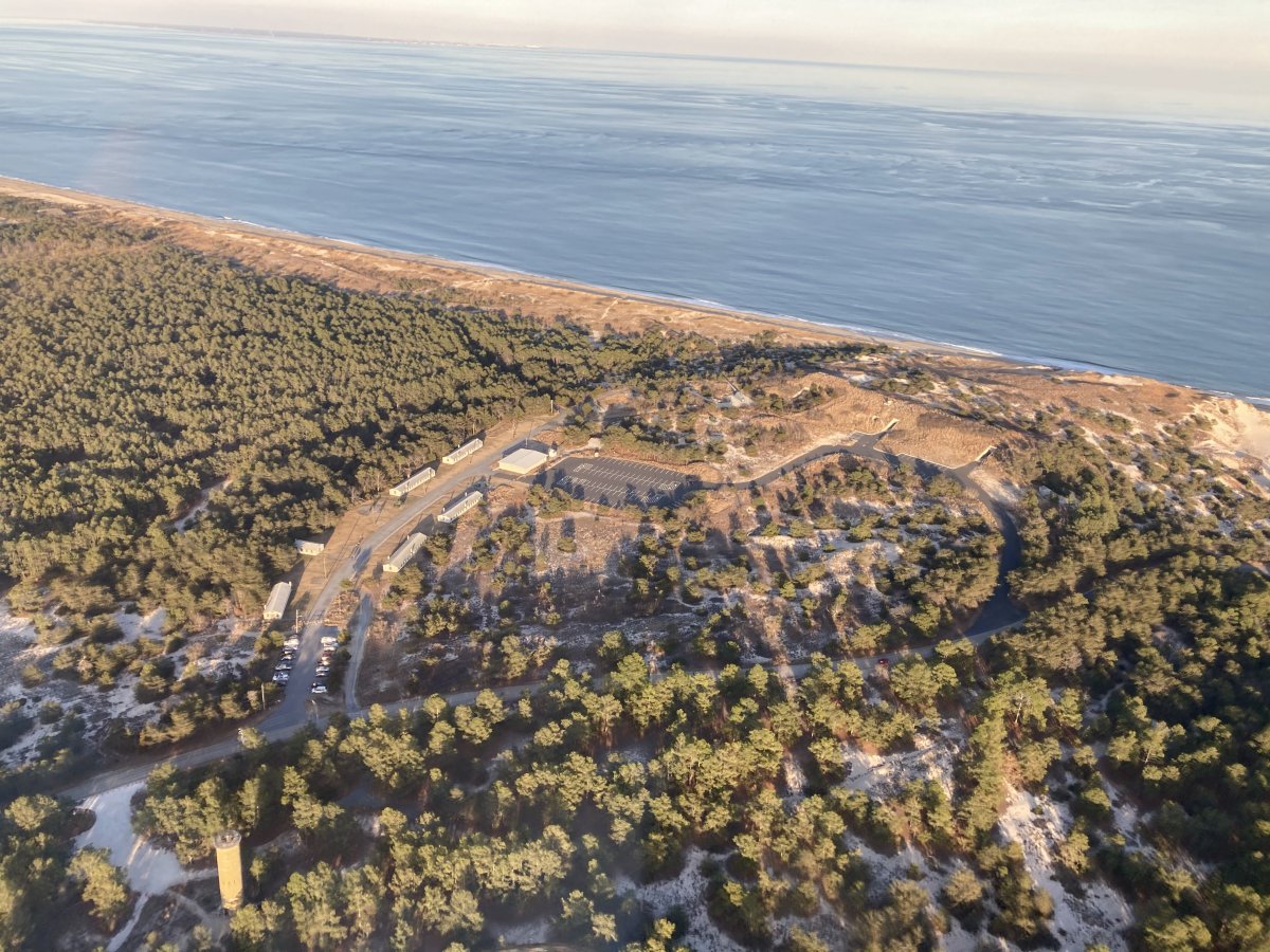
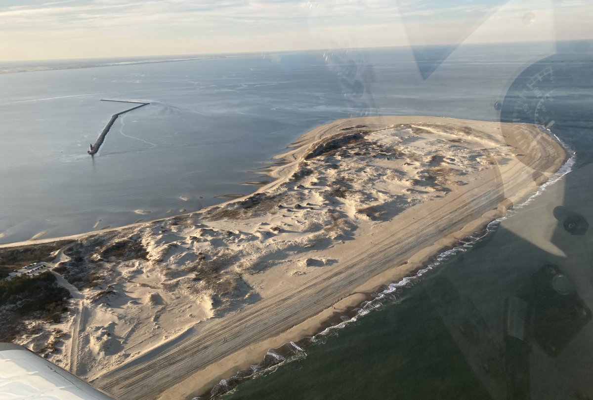
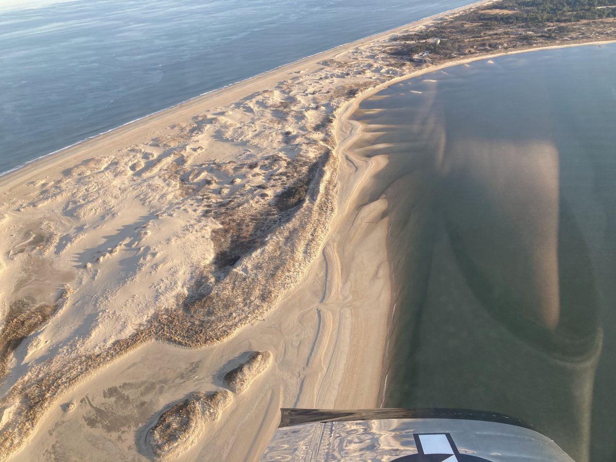
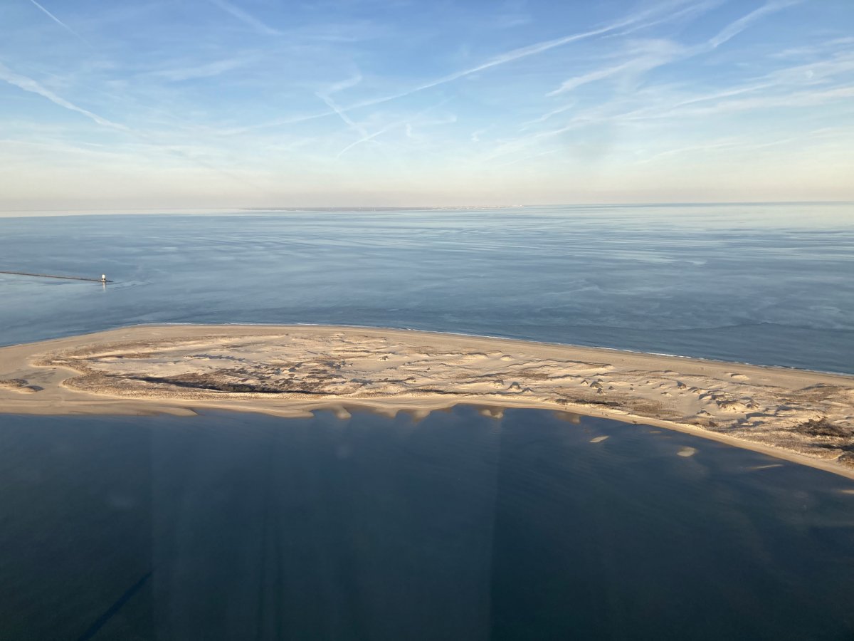
| Cape Henlopen. |
| |
 |
|
| |
| |
 |
|
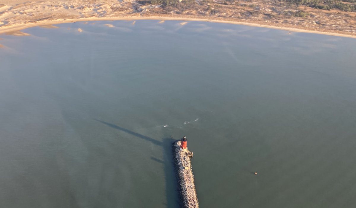
Delaware Breakwater East End Lighthouse. It's been around for awhile -- since 1885! It was taken out of service in 1996 and is a historical site. The lighthouse was manually operated -- someone lived in it -- until 1950 when it was automated.
|
| |
 |
|
|
Cape Henlopen with Cap May visible across the Delaware Bay. Ten miles or so across.
|
| |
 |
|
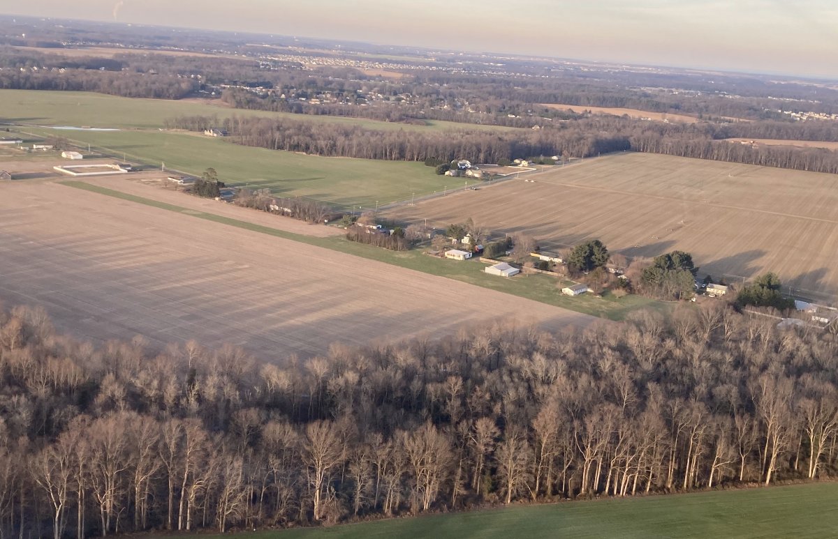
| I continued northwest up the Delaware coast and found some new fun areas to fly south of Dover. |
| |
 |
|
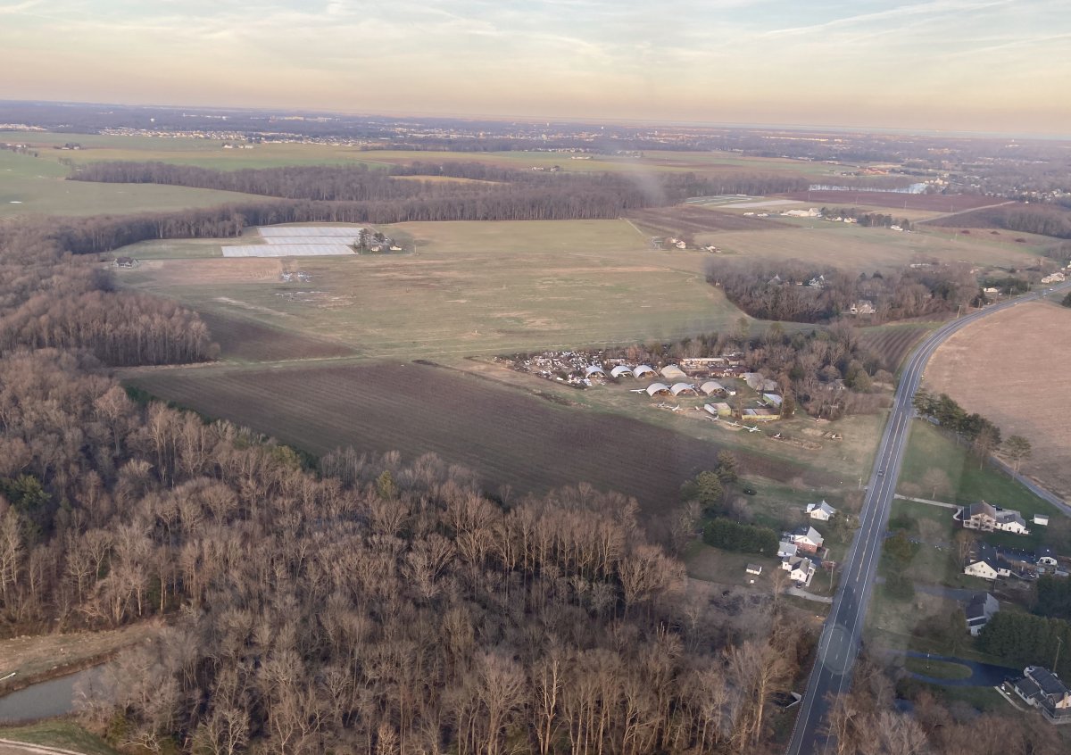
| A private grass strip called Johnsons just outside the Dover Air Force Base Class D airspace. |
| |
 |
|
| Checking out Jenkins Airport (15N), also on the outsiders of the Dover AFB Class D. |
| |
 |
|
|
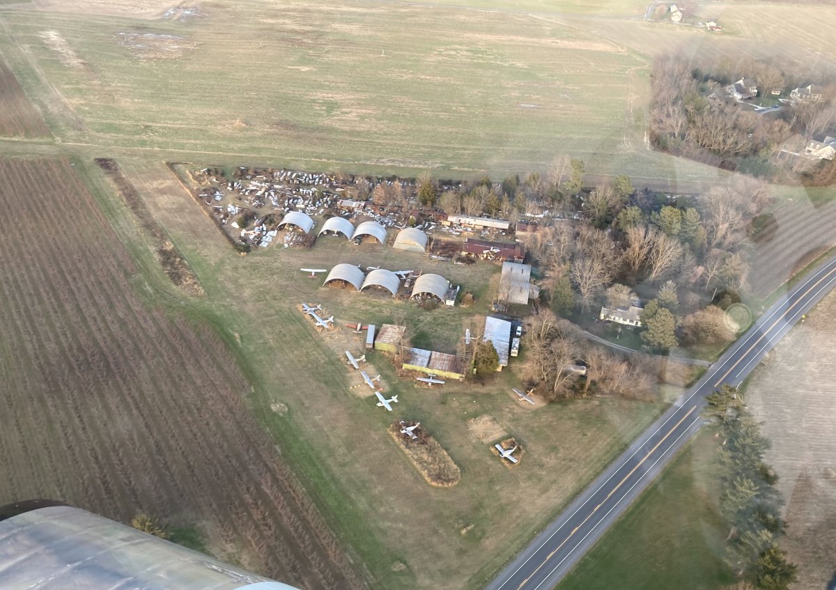
Jenkins Airport is a privately-owned, public use grass-strip airport. When I was flying the Citabria with the Trunk Monkeys, this used to be one of our stops when doing our "All Grass All Day" flights. As you can see, it is an aircraft boneyard. Joe Jenkins owns it. He flew P-61 Black Widow nightfighters over Germany during World War II.
I landed back at Essex Skypark having flown exactly two hours. Fun flight.
|
| |
 |
|
| |
| |
|
|
|
|
|
|